Press kit
Everything you need to write about SupportNear, without emailing anyone and waiting. Use it as it is; every figure can be checked.
In 50 words
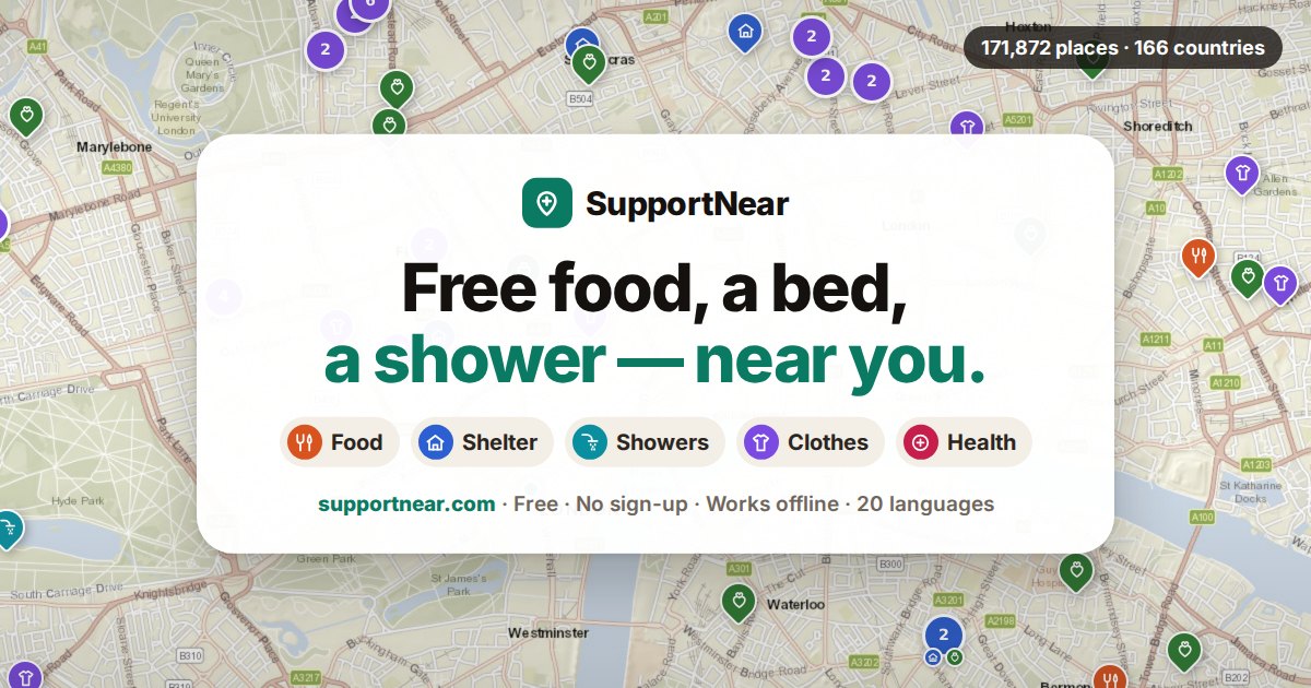
SupportNear is a free map showing where to find food, a bed, a shower, clothes, social help, medical care and free legal advice, starting from wherever the person is standing. It covers 171,872 places in 1221 cities across 166 countries, in 20 languages. No account, no tracking, and it works with no signal.
In 200 words
SupportNear is a map of free help for people who need it right now. You open it and, with no sign-up and nothing to install, it shows the nearest places that serve food, where you can sleep, where there is a shower, clothes, a doctor, or someone who helps with paperwork.
It covers 171,872 places in 1221 cities across 166 countries. The data comes from OpenStreetMap, the open map kept up by volunteers, councils and humanitarian teams, and anyone can correct it from the site itself: one button reports a missing place, another reports one that has closed.
It is built for the cheapest phone and the worst connection. The page opens in under a quarter of a second, saves itself onto the phone and keeps working with no data. A whole city can be downloaded for offline use. No account, no record of who you are, no advertising and no third-party analytics.
It is a non-profit project.
Places by country
Every place counted here is within 40 km of one of the cities on the map. A country with few places is not a country with little help: it is a country where OpenStreetMap volunteers have mapped little of it yet.
| Country | Places | Cities |
|---|---|---|
| Germany | 9,772 | 17 |
| Spain | 7,141 | 48 |
| United Kingdom | 7,044 | 14 |
| Japan | 5,821 | 19 |
| United States | 5,656 | 25 |
| France | 4,379 | 11 |
| Australia | 2,272 | 11 |
| Canada | 2,202 | 14 |
| Poland | 2,191 | 13 |
| Italy | 2,129 | 14 |
| Russia | 1,945 | 20 |
| Brazil | 1,780 | 23 |
| Philippines | 1,699 | 17 |
| Mexico | 1,592 | 21 |
| South Korea | 1,527 | 17 |
| Kingdom of the Netherlands | 1,367 | 4 |
| Argentina | 1,340 | 15 |
| Ukraine | 1,290 | 18 |
| India | 1,276 | 26 |
| People's Republic of China | 1,262 | 19 |
| Belgium | 1,259 | 4 |
| Iran | 1,115 | 21 |
| Turkey | 1,101 | 20 |
| Indonesia | 1,051 | 21 |
| Austria | 834 | 3 |
| Denmark | 815 | 2 |
| Colombia | 782 | 17 |
| Belarus | 742 | 7 |
| Iraq | 705 | 20 |
| Romania | 682 | 9 |
| Taiwan | 681 | 6 |
| Portugal | 677 | 2 |
| Finland | 666 | 4 |
| New Zealand | 663 | 3 |
| Switzerland | 635 | 1 |
| Chile | 606 | 9 |
| Malaysia | 580 | 13 |
| Peru | 577 | 13 |
| Ivory Coast | 575 | 12 |
| South Africa | 570 | 12 |
Who is behind it
Carlos de Ory · @mrstartups
I started this project, under other names, back in 2007, the year I turned 18. For years I added the places one by one, by hand.
With the help of other tools I have finally been able to grow it to the whole world: 171,872 places in 166 countries. It has no profit motive and it never will.
If any newsroom wants to cover it, I am glad to help. Write to me on X.
With the help of other tools we have finally been able to grow it to the whole world: 171,872 places in 166 countries. It has no profit motive and it never will.
If any newsroom wants to cover it, we would be grateful. Write to the address below.
Press and partnerships
All contact goes through X: press, working together or anything else. It is where I answer fastest.
About the headline
The figure that carries the project is 166 countries, counted by ISO code and checkable one by one. It is the widest international coverage we know of in a free map of this kind: RefAid, the largest we found, covers 41 countries.
We do not claim to be the biggest map in the world, because we are not. Ask Izzy lists around 370,000 services, far more than us, but in a single country. We prefer a sentence that survives being checked.
Screenshots
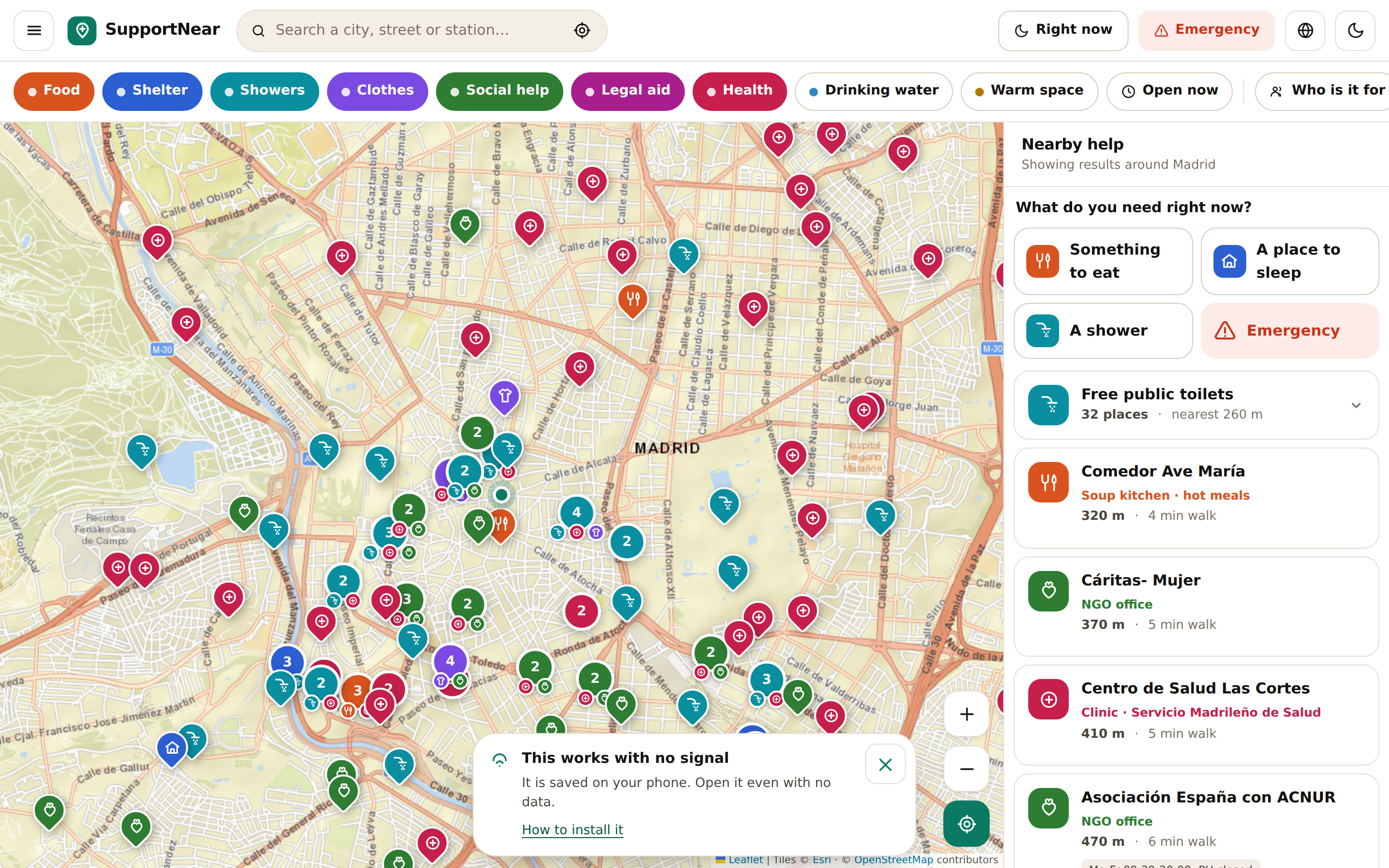
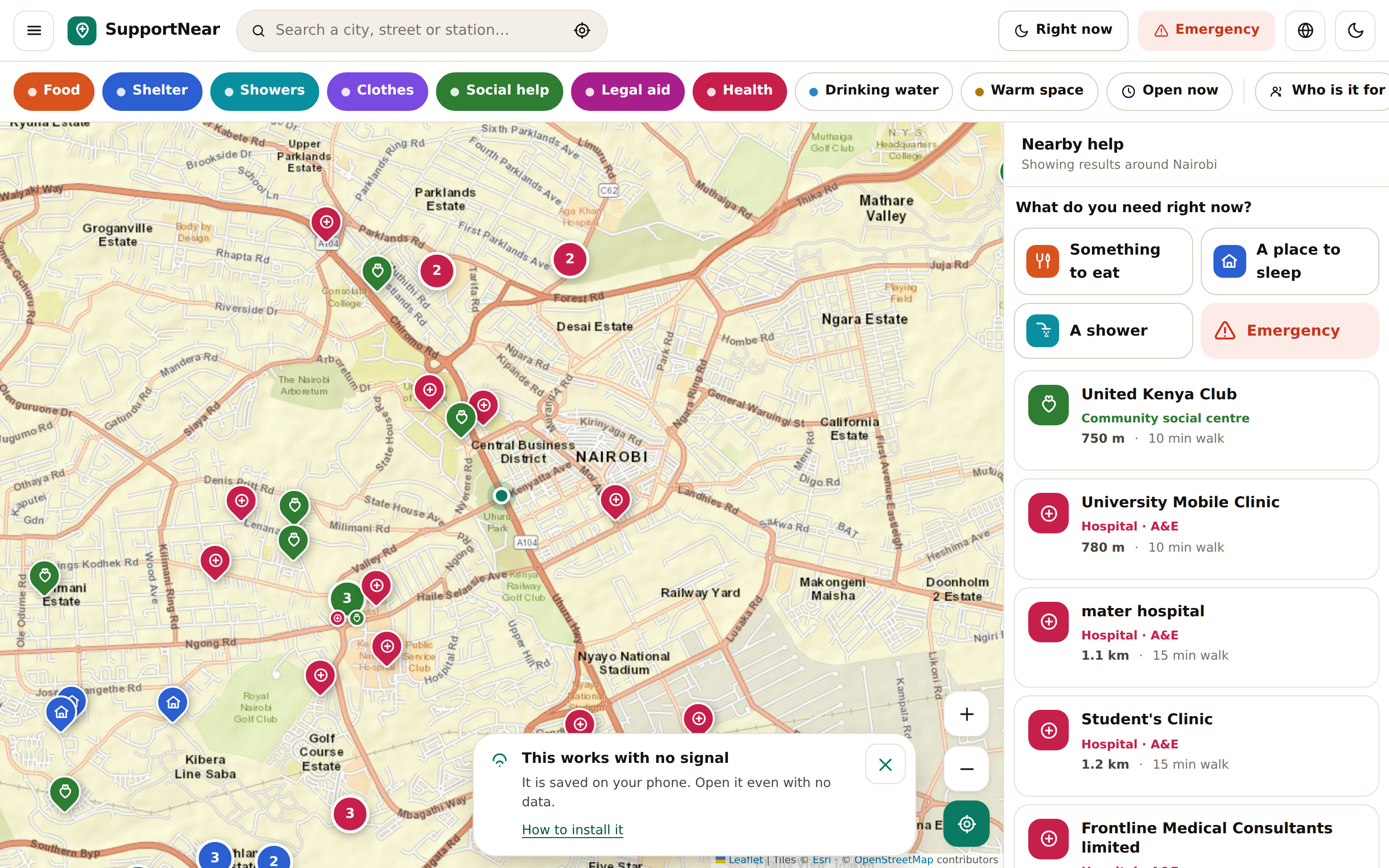
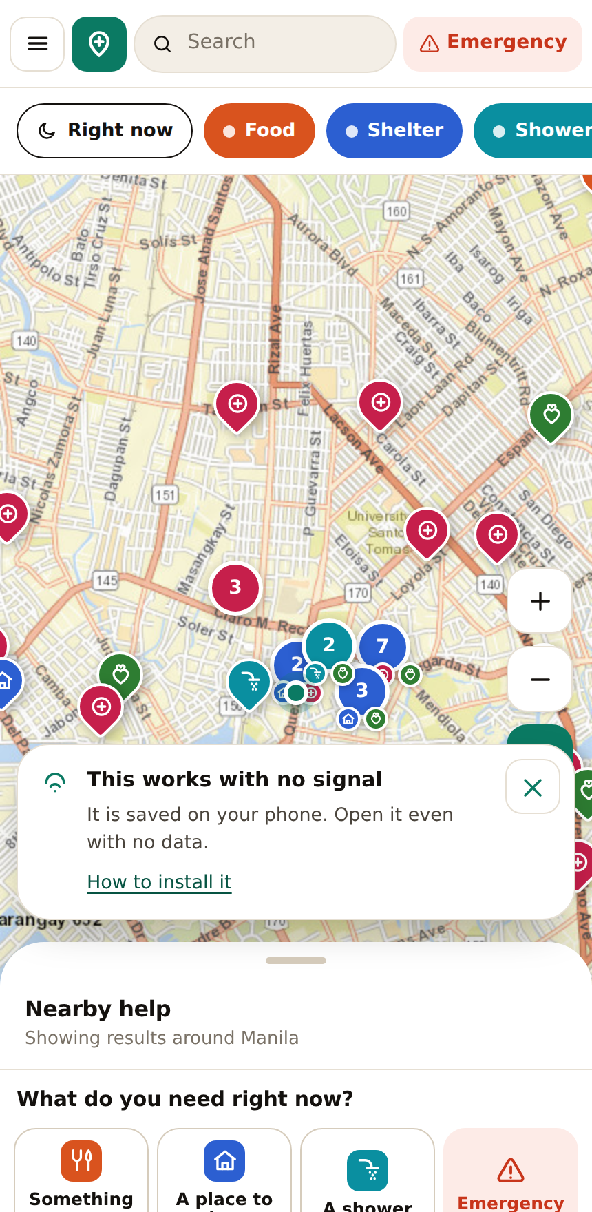
From the real site, untouched. Right click to save them.
Direct links
To link exactly what the article mentions:
supportnear.com/?city=Nairobi     opens that city
supportnear.com/#p=node/123456    opens that one place
supportnear.com/prensa.html       this page
supportnear.com/incrustar.html    how to embed the map
supportnear.com/c/                 one page per city, for search engines
supportnear.com/cambios.html       what changed since the last update
Things you can verify
- Places come from OpenStreetMap (ODbL). Every entry links to the original point.
- The city list comes from OpenStreetMap and each country from Nominatim. No coordinate is typed by hand.
- Emergency numbers for 227 countries come from Wikidata (property P2852). Download the full table (CSV)
- The site opens in under 250 ms and loads nothing from third parties: no fonts, no analytics, no libraries.
What we do not claim
The data comes from an open map and is not verified one by one. A place may have closed. That is why the site always says to call before walking there, and why there is a button to report that something no longer exists.
If you write about this, I would rather you said so.